The Peddars Way and North Norfolk Coast Path
 |
 |
|
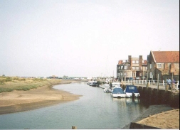
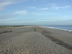
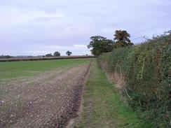
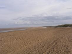
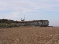
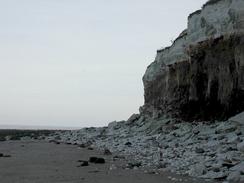
BackgroundThe Peddars Way and Norfolk Coast Path comprises two seperate paths that join at Holme-next-the-Sea on the north Norfolk Coast; these paths are the Peddars Way, which follows the Romanised route of the Icknield Way from Knettishall Heath near Thetford to the North Norfolk Coast, and the North Norfolk Coast Path, which runs from Holme-next-the-Sea to Cromer. There is an option to walk the couple of miles west from Holme-next-the-Sea into Hunstanton, and this makes a good point to start or end the seperate halves of the walk. I have not walked this route in one go; I first walked the Norfolk Coast stretch in 2001; I also did a more coastal variation in late 2002 as part of my walk around the coastline of Britain. I did the Peddars Way north from Thetford in late 2003 as a wind-down walk after the coastal walk, and I camped out along the way. Of the two halves of the path I must admit that I much preferred the coastal stretch; there was must to see and public transport and accomodation was easy to sort out. The views were also magnificent, and there was not a single boring stretch of path. The Peddars Way is very different; it runs straight for a long distance along tracks and roads, and seems to avoid settlement as much as possible, meaning that getting refreshments and accommodation is difficult without diverting off the path. |
The map. |
The walk statistics:
| Planned | Completed | To do | Percentage completed | |
|---|---|---|---|---|
| Distance | 94.5 miles | 94.5 miles | 0 miles | 100 % |
| Legs | 6 | 6 | 0 | 100 % |
| Total duration of walk | 1 days, 10 hours and 28 minutes |
| Stopped time | 2 hours and 15 minutes |
| Shortest completed leg | Dovehill Wood to Hunstanton bus station at 8.3 miles |
| Longest completed leg | Hunstanton bus station to Wells-next-the-Sea campsite at 21.5 miles |
| Average distance per leg | 15.74 miles |
 |
 |
|
The route below does not include the stretch of path inland of Titchwell, as I walked along the coast road instead of doing the long and seemingly boring inland diversion. This alters the mileage of the path somewhat. Also note that my route involves visiting Hunstanton, which is an option on the trail and which increases the route.
The walk in full:
| No. | From | To | Distance | Status | |
|---|---|---|---|---|---|
 |
1 | Knettishall Heath | North Pickenham | 19.7 | Completed |
 |
2 | North Pickenham | Dovehill Wood | 20.8 | Completed |
 |
3 | Dovehill Wood | Hunstanton bus station | 8.3 | Completed |
 |
4 | Hunstanton bus station | Wells-next-the-Sea campsite | 21.5 | Completed |
 |
5 | Wells-next-the-Sea campsite | Cley-next-the-Sea bus stop | 11.1 | Completed |
 |
6 | Cley-next-the-Sea bus stop | Cromer bus station | 13.1 | Completed |
Further information
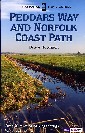
If you want more details of the path, then have a look at the following book. I used this book throught my walk, and it proved to be invaluable.
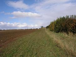
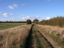
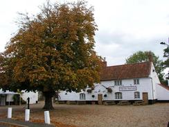
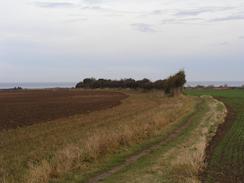
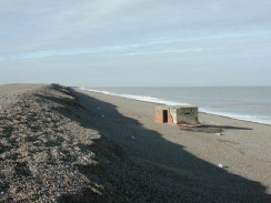
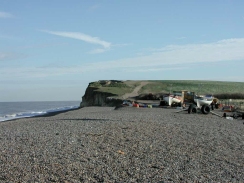
More Peddars Way and Norfolk Coast Path photos
 |
 |
|
 |
 |
|
 |
 |
|
 |
 |
|
 |
 |
|
 |
 |
|
 |
 |
|
| |
|
|
 |
 |
|
