The Icknield Way
 |
|
 |
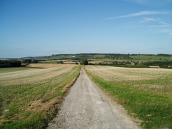
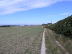
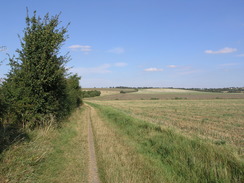
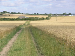
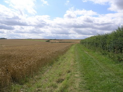
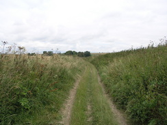
| P20078260025 The path climbing east from Dagnall.
|
|
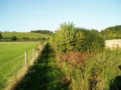
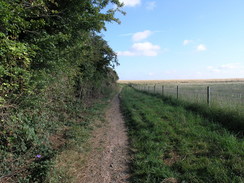
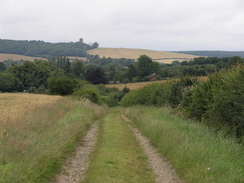
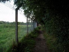
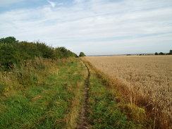
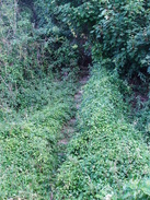
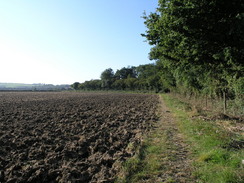
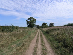
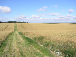
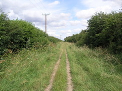
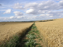
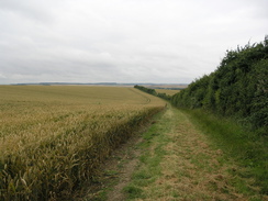
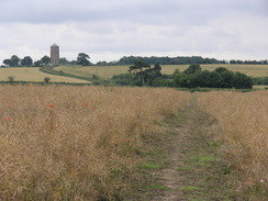
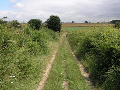
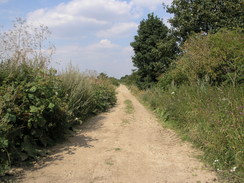
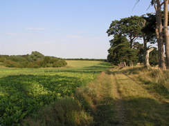
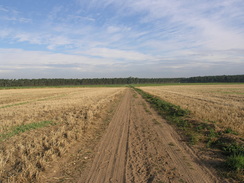
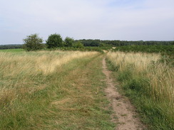
P20078270075 The path leading towards Five Knolls.
|
Background
The Ickield Way is a long-distance trail in the Midlands that follows a series of prehistoric trackways. It links together two National Trails - the Ridgeway to the southwest and the Peddar's Way in the northeast. It is not as glorious a walk as the two National Trails, but has a varied nature that is appealing. Although hardly a classic walk, it is till an easy walk, with lots of accommodation and transport options making circular or day walks feasible.
As well as a walker's route, there is also a route for horse riders that varies from the walker's route significantly in places. This file describes a walk along the walker's route. There are also various semi-official extensions to the Icknield Way, particularly to the southwest, and an alternative route through the Luton and Dunstable urban areas.
The walk statistics:
| | Planned | Completed | To do | Percentage completed |
|---|
| Distance | 123.7 miles | 123.7 miles | 0 miles | 100 % |
| Legs | 7 | 7 | 0 | 100 % |
| Total duration of walk | 2 days, 1 hours and 40 minutes
| | Stopped time | 4 hours and 38 minutes
| | Shortest completed leg | Ivinghoe Beacon to Whipsnade at 4.8 miles
| | Longest completed leg | Baldock station to Great Chesterford station at 26.7 miles
| | Average distance per leg | 17.67 miles
|
 |
|
 |
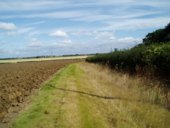
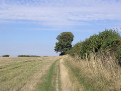
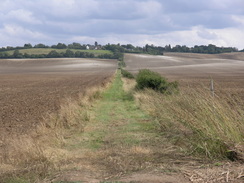
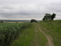
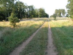
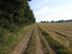
| P20078270104 Heading north towards Wingfield.
|
|
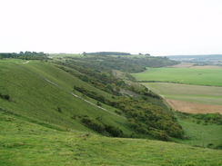
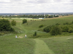
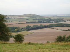
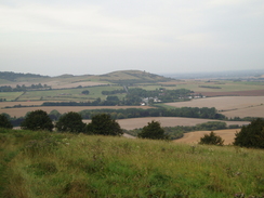
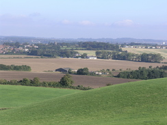
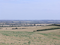
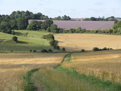
P20079169214 The view from Sharpenhoe Clappers.
|
The walk in full:
| No. | From | To | Distance | Status |
|---|
 |
1 |
Ivinghoe Beacon |
Whipsnade |
4.8 |
Completed |
 |
2 |
Whipsnade |
Harlington station |
14.2 |
Completed |
 |
3 |
Harlington station |
Baldock station |
21.9 |
Completed |
 |
4 |
Baldock station |
Great Chesterford station |
26.7 |
Completed |
 |
5 |
Great Chesterford station |
Dullingham Station |
19.5 |
Completed |
 |
6 |
Dullingham Station |
King's Wood |
24.9 |
Completed |
 |
7 |
King's Wood |
Knettishall Heath |
11.7 |
Completed |
 |
|
 |
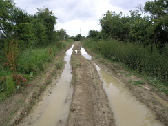
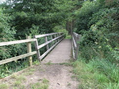
| P20078119084 The River Lark at Temple Bridge.
|
|
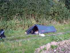
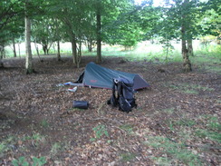
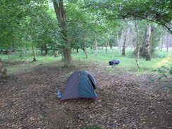
P20078129111 My tent in King's Wood.
|
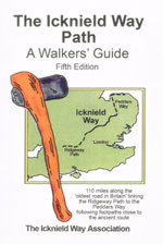
If you want more details of the path, then have a look at the following book. I used this book throughout my walk, and it proved to be invaluable.
Directions
|
The walk is covered in detail in the Icknield Way Path: A Walkers' Guide, by The Icknield Way Association, ISBN 0 9521819 2 4 published by Icknield Way Association. Click on the image to the right to go to the Amazon page for the book.
The association also have a web presence at http://www.icknieldwaypath.co.uk/index.php.
|
|
More Icknield Way photos
 |
|
 |
| P20078260237 Ivinghoe Beacon.
|
|
P20078260010 The marker stone at the point that the Icknield Way and Ridgeway diverge.
|
 |
|
|
| P20078260021 The descent down from Ward's Hurst Farm.
|
|
P20078260031 My tent near Whipsnade Zoo.
|
 |
|
 |
| P20078270043 The path leading past Whipsnade zoo to Whipsnade.
|
|
P20078270045 Aproaching Whipsnade.
|
 |
|
 |
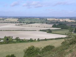
| P20078270053 Looking west from Dunstable Downs.
|
|
P20078270060 The view from Dunstable Downs.
|
| |
|
 |
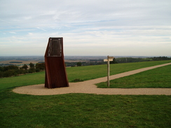
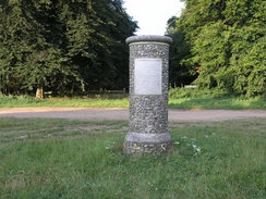
| P20078270065 A monument by the Dunstable Downs visitors centre.
|
|
P20078270089 Green Lane in Dunstable.
|
 |
|
 |
| P20078270090 Maiden Bower.
|
|
P20078270093 Sewell.
|
 |
|
 |
| P20078270098 The steep steps leading up to the A5.
|
|
P20078270109 The path between Wingfield and Chalgrave.
|
 |
|
 |
| P20078270116 Toddington.
|
|
P20078270124 Heading east from the M1 towards the railway line.
|
 |
|
 |
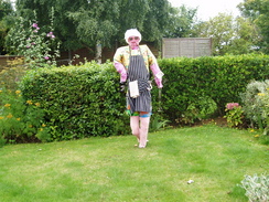
| P20078270129 A scarecrow in a garden in Harlington.
|
|
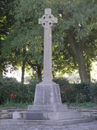
P20079169192 Harlington war memorial.
|
 |
|
 |
| P20079169195 Heading south from Harlington.
|
|
P20079169202 The view north from the Sundon Hills Country Park.
|
| |
|
 |
| P20079169210 The path leading to Sharpenhoe Road.
|
|
P20079169227 The Icknield Way heading south to the junction with the historic route.
|
 |
|
 |
| P20079169229 Following the Icknield Way northeastwards.
|
|
P20079169237 Following the Icknield Way northeastwards.
|
 |
|
 |
| P20079169238 Following the Icknield Way northeastwards.
|
|
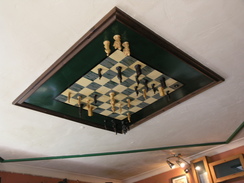
P20079169247 A chessboard on the ceiling of the Motte and Bailey pub, Pirton.
|
 |
|
 |
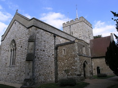
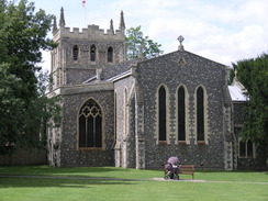
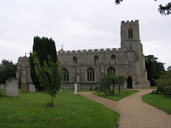
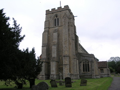
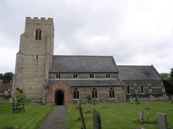
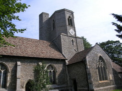
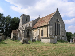
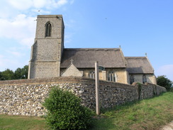
| P20079169251 Pirton church.
|
|
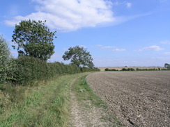
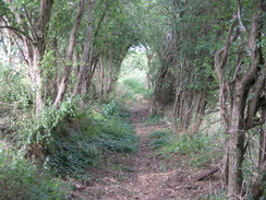
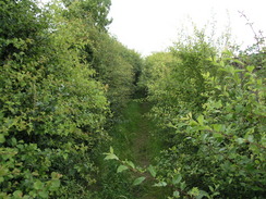
P20079169256 The path between Pirton and Ickleford.
|
 |
|
 |
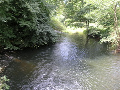
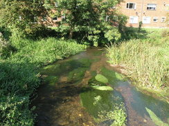
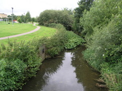
| P20079169264 The River Hiz in Ickleford.
|
|
P20079169269 Heading east towards Wilbury Hill.
|
 |
|
 |
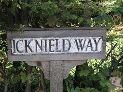
| P20079169281 An Icknield Way sign in Letchworth.
|
|
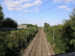
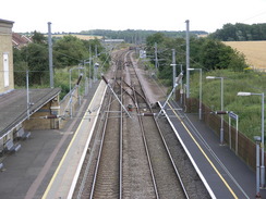
P20079169282 The railway in Baldock.
|
 |
|
 |
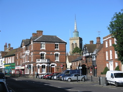
| P20077288833 Baldock.
|
|
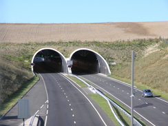
P20077288841 The new tunnels carrying the A505 through Weston Hills.
|
 |
|
 |
| P20077288845 The path heading southeast from Baldock.
|
|
P20077288849 The path climbing up onto Windmill Hill from Clothall.
|
 |
|
 |
| P20077288855 Heading northeastwards towards Wallington.
|
|
P20077288861 Wallington church.
|
 |
|
 |
| P20077288866 Heading east towards Roe Green.
|
|
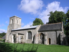
P20077288875 Sandon church.
|
 |
|
 |
| P20077288886 The view towards Therfield.
|
|
P20077288893 Descending down Therfield Heath.
|
| |
|
 |
| P20077288896 A memorial near the golf club in Royston.
|
|
P20077288903 The attractive Royston Parish Church.
|
 |
|
 |
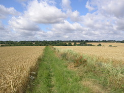
| P20077288913 Heading east along the Icknield Way to the north of Barley.
|
|
P20077288915 The path leading up to Heydon.
|
 |
|
 |
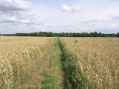
| P20077288923 The path between Heydon and Chrishall.
|
|
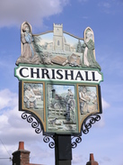
P20077288925 Chrishall village sign.
|
 |
|
 |
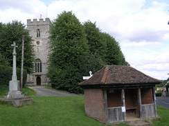
| P20077288931 Elmdon.
|
|
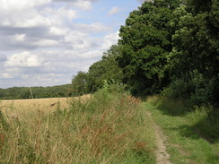
P20077288933 The path between Freewood Farm and Strethall.
|
 |
|
 |
| P20077288938 The path leading northeastwards to the M11.
|
|
P20077288939 The path leading northeastwards to the M11.
|
 |
|
 |
| P20077288952 Great Chesterford station.
|
|
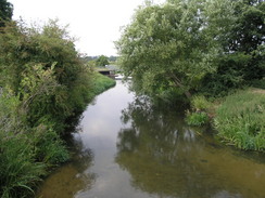
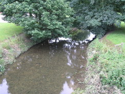
P20077118541 the River Cam in Great Chesterford.
|
 |
|
 |
| P20077118543 Great Chesterford church.
|
|
P20077118557 The path climbing up towards Burtonwood Farm.
|
| |
|
 |
| P20077118568 The descent down into Linton.
|
|
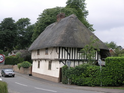
P20077118569 Detailing on a house by the main road in Linton.
|
 |
|
 |
| P20077118577 The River Granta in Linton.
|
|
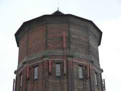
P20077118586 The water tower on Rivey Hill.
|
 |
|
 |
| P20077118590 Looking back towards Rivey Hill.
|
|
P20077118596 The track leading north to Balsham.
|
 |
|
 |
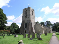
| P20077118601 Balsham church.
|
|
P20077118609 The track heading northeast from Balsham.
|
 |
|
 |
| P20077118615 The track heading northeast from Balsham.
|
|
P20077118622 The track leading towards Crick's Farm.
|
 |
|
 |
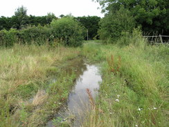
| P20077118626 A boggy track leading to Willingham Green.
|
|
P20077118634 Brinkley church.
|
 |
|
 |
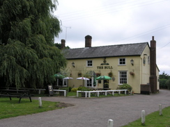
| P20077118640 The Bull pub in Borough Green.
|
|
P20077118645 The path heading north from Borough Green between paddocks.
|
 |
|
 |
| P20077118649 Dullingham.
|
|
P20077118664 A train at Dullingham station.
|
 |
|
 |
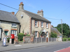
| P20078119006 A house in Dullingham.
|
|
P20078119009 The path heading north to Stretchworth.
|
 |
|
 |
| P20078119017 The path leading eastwards from the Devil's Dyke.
|
|
P20078119025 Cheveley church.
|
 |
|
 |
| P20078119031 Ashley.
|
|
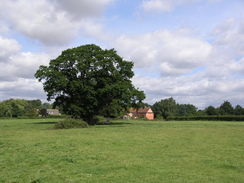
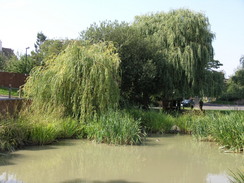
P20078119036 A pond in Ashley.
|
 |
|
 |
| P20078119042 Heading along the River Kennett towards Dalham.
|
|
P20078119045 A bridge over the River Kennett near Dalham.
|
| |
|
 |
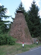
| P20078119046 he Maltings Kiln in Dalham.
|
|
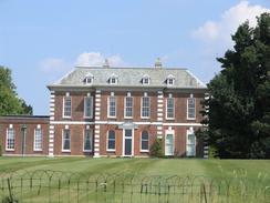
P20078119050 Dalham Hall.
|
 |
|
 |
| P20078119058 Gazeley church.
|
|
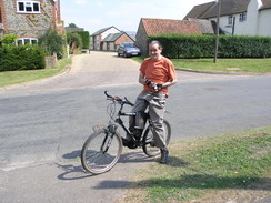
P20078119059 Terry at Gazeley
|
 |
|
 |
| P20078119065 The track leading north to Heringswell.
|
|
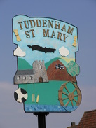
P20078119075 Tuddenham St Mary village sign.
|
 |
|
 |
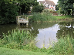
| P20078119078 A pond in Tuddenham St Mary.
|
|
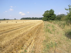
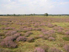
P20078119083 Tuddenham Heath.
|
 |
|
 |
| P20078119094 Icklingham church.
|
|
P20078119097 The track leading towards King's Wood.
|
 |
|
 |
| P20078119102 The track heading northeastwards through King's Wood.
|
|
P20078119108 My tent in King's Wood.
|
 |
|
 |
| P20078129114 The memorial commemorating the opening of King's Wood by King Seorge V beside the B1106.
|
|
P20078129122 The path across West Calthorpe Heath.
|
 |
|
 |
| P20078129124 The path to the east of West Calthorpe Heath.
|
|
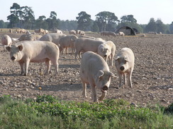
P20078129126 Pigs at the pig farm.
|
 |
|
 |
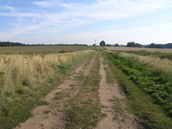
| P20078129130 The path leading from the A134 to Euston.
|
|
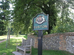
P20078129132 Euston village sign.
|
 |
|
 |
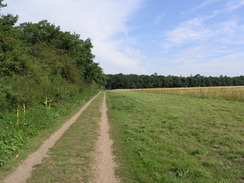
| P20078129137 The path heading east from Euston.
|
|
P20078129149 The path heading north towards Knettishall Heath.
|
 |
|
 |
| P20078129152 Heading north across Knettishall Heath.
|
|
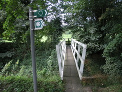
P20078129159 The footbridge over the River Little Ouse.
|
 |
|
 |
| P20078129163 The Peddar's Way heading north to the A1066.
|
|
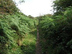
P20078129167 Skirting the stables past Brettenham.
|
|
